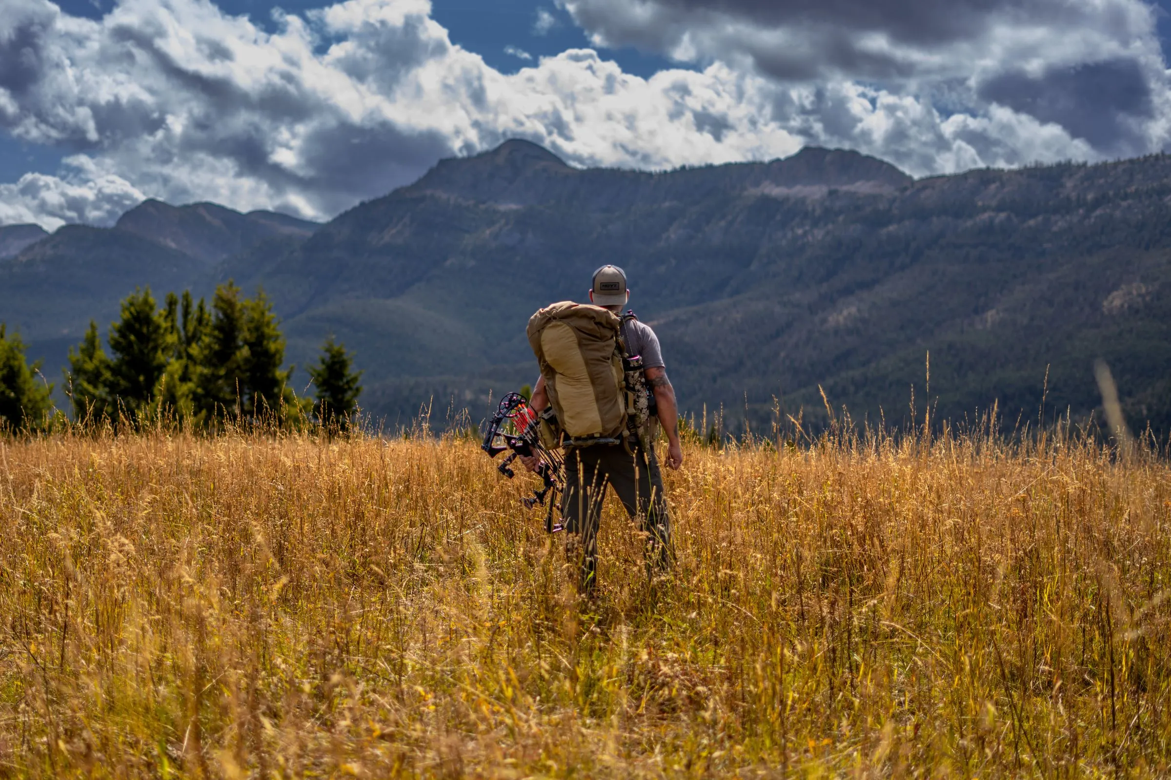
Everything Talus puts in your pack.
A complete mapping system for the backcountry hunter, from the base layers you plan on to the precision instruments no other app carries.
The base every hunt is planned on.
Topographic & satellite maps
Interactive basemaps in topo, satellite, and hybrid styles, tuned for terrain reading.
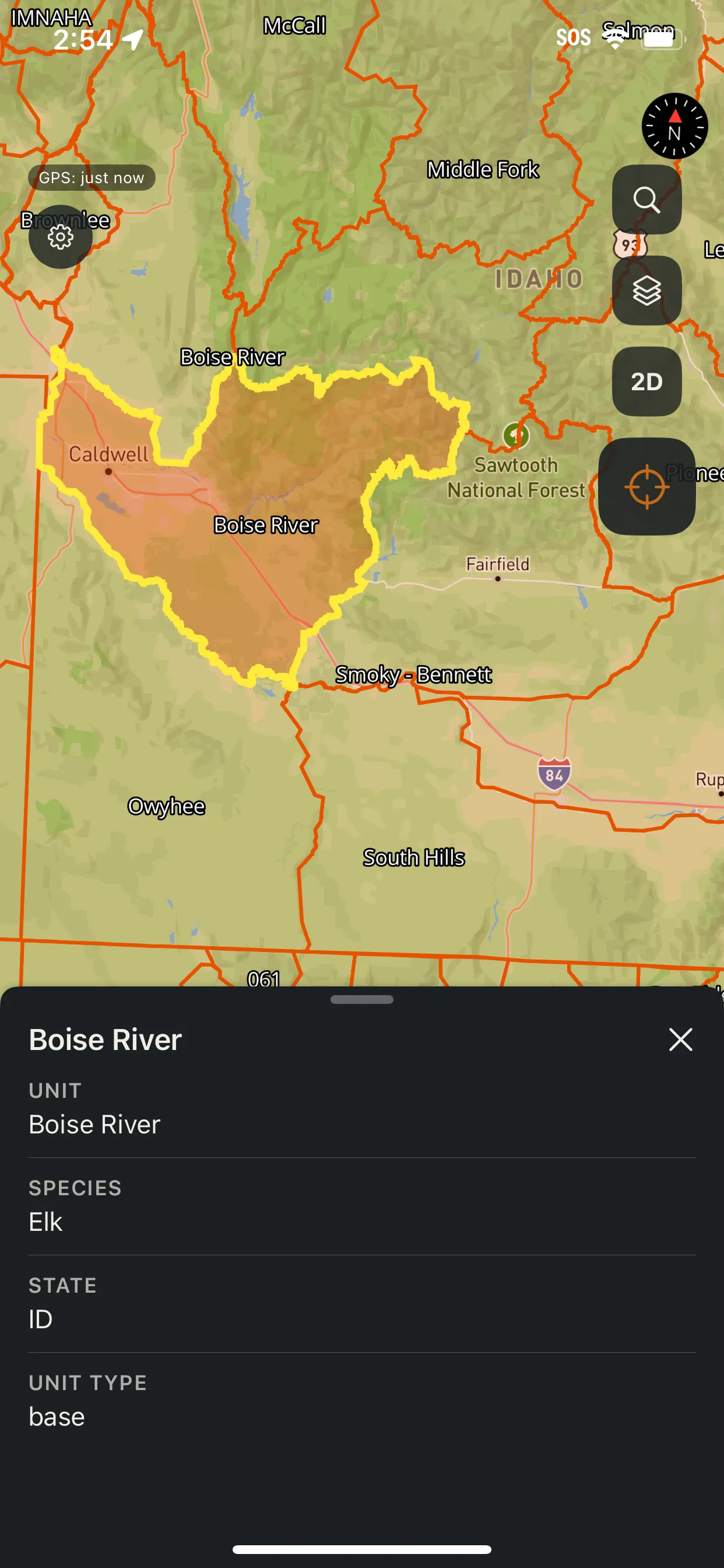
Hunting units / GMUs
Game-management units you can filter by species and state, drawn as clear overlays. Tap any unit for the details. Talus Pro.
Public land
Federal and state public-land boundaries so you always know where you can stand. Talus Pro.
Private land & owners
County parcel boundaries with landowner names where available, so you know whose ground you're on. Talus Pro.
Detailed water
Creeks, springs, and lakes drawn in detail for planning water and travel. Talus Pro.
Trails & roads
Trail and road networks for planning the way in and the pack-out. Talus Pro.
Wildfire perimeters
Current and historical fire perimeters for reading burns, regrowth, and access. Talus Pro.
40 ft contours
Tight contour lines for reading benches, draws, and saddles.
Peak & place labels
Named peaks with elevations and thousands of authoritative place names.
Where Talus earns its name.
Foot-level LiDAR terrain
Laser-scanned elevation resolves the ground to roughly a meter, foot-level detail far tighter than the standard topographic data most apps use.
Live elevation reading
Barometric and multi-source GPS fused into a live altitude readout that holds under canopy and in cover.
Elevation profiles
Gain, loss, and grade along any track or route, with touch-scrub graphs.
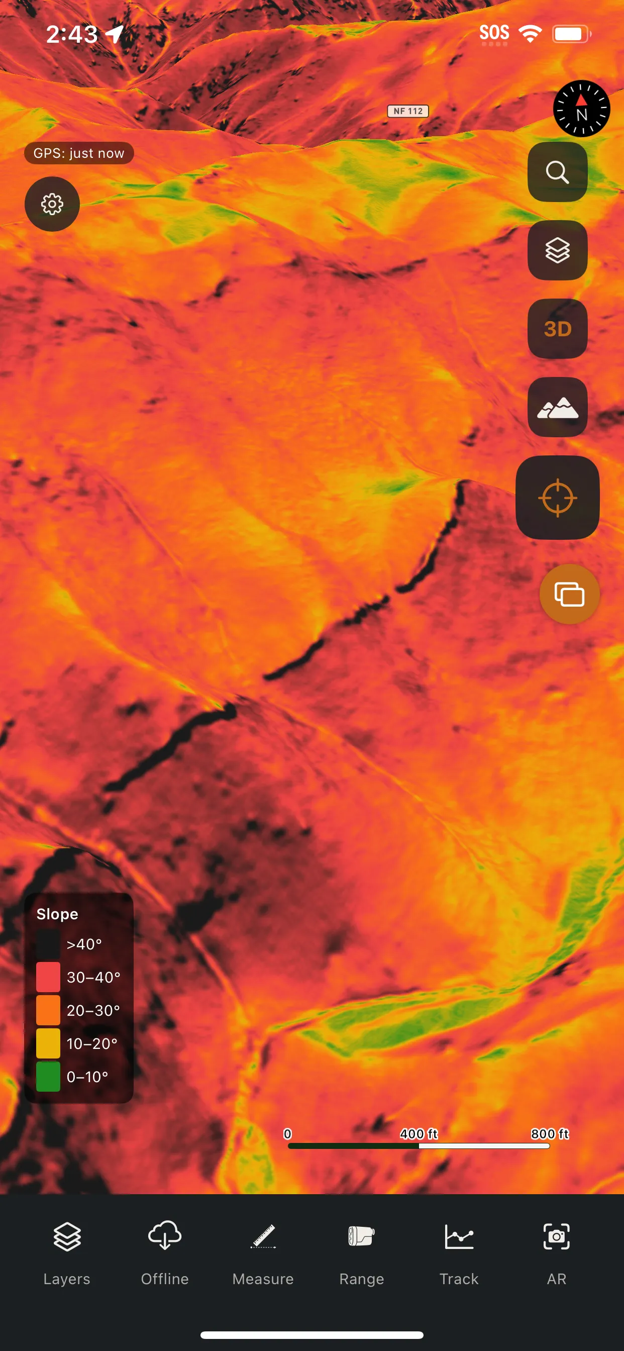
Slope shading
LiDAR slope shading that picks out benches, saddles, and bedding terrain at a glance. Talus Pro.
Hillshade & low-angle light
Bare-earth hillshade that reveals subtle ridges and drainages under the canopy. Talus Pro.
Sun & shadow modeling
Set any date, time, and sun angle to see exactly where light and shadow will fall. Talus Pro.
Local relief mapping
Pull out the micro-terrain that other maps flatten. Talus Pro.
Viewshed line-of-sight
Drop a pin for a live visibility map out to ~2 miles. Green is visible, red is blocked. Talus Pro.
Sea-level correction
GPS heights corrected to mean sea level instead of the raw ellipsoid.
Preview it in 3D before you go. Name it in AR once you're there.
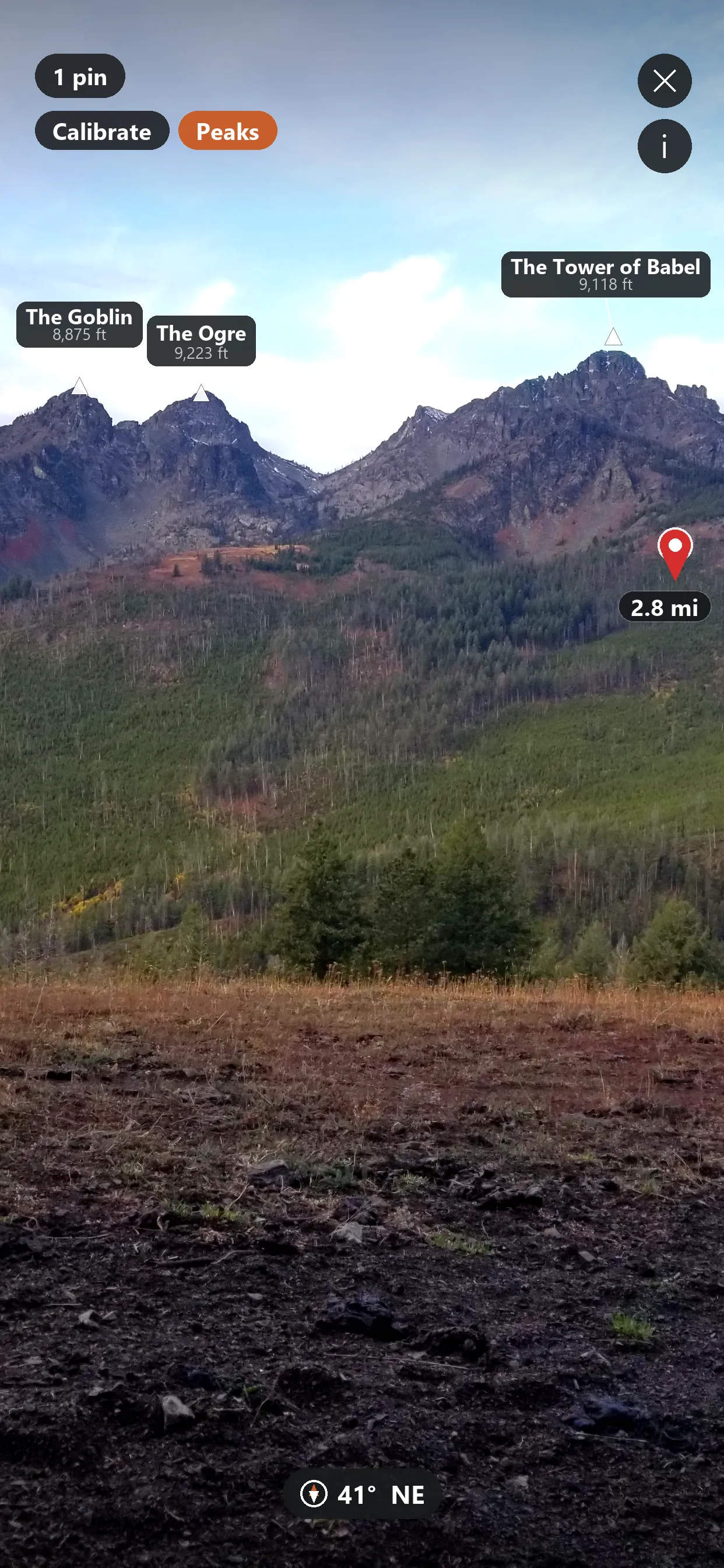
AR peak & pin overlay
Live-camera view that labels the peaks around you and your saved pins, each tagged with true bearing and distance. Talus Pro.
First-person 3D terrain
Walk real elevation draped in satellite imagery in immersive 3D, with trails and named peaks. Talus Pro.
Heading calibration
Manual compass calibration with magnetic-interference warnings for AR accuracy.
Plan the line, then record the truth.
Pin-to-pin routing
Routes snapped to real trail and road networks, built leg by leg. Talus Pro.
Track recording
GPS tracks with multi-source barometric and LiDAR altitude and live distance and elevation stats. Talus Pro.
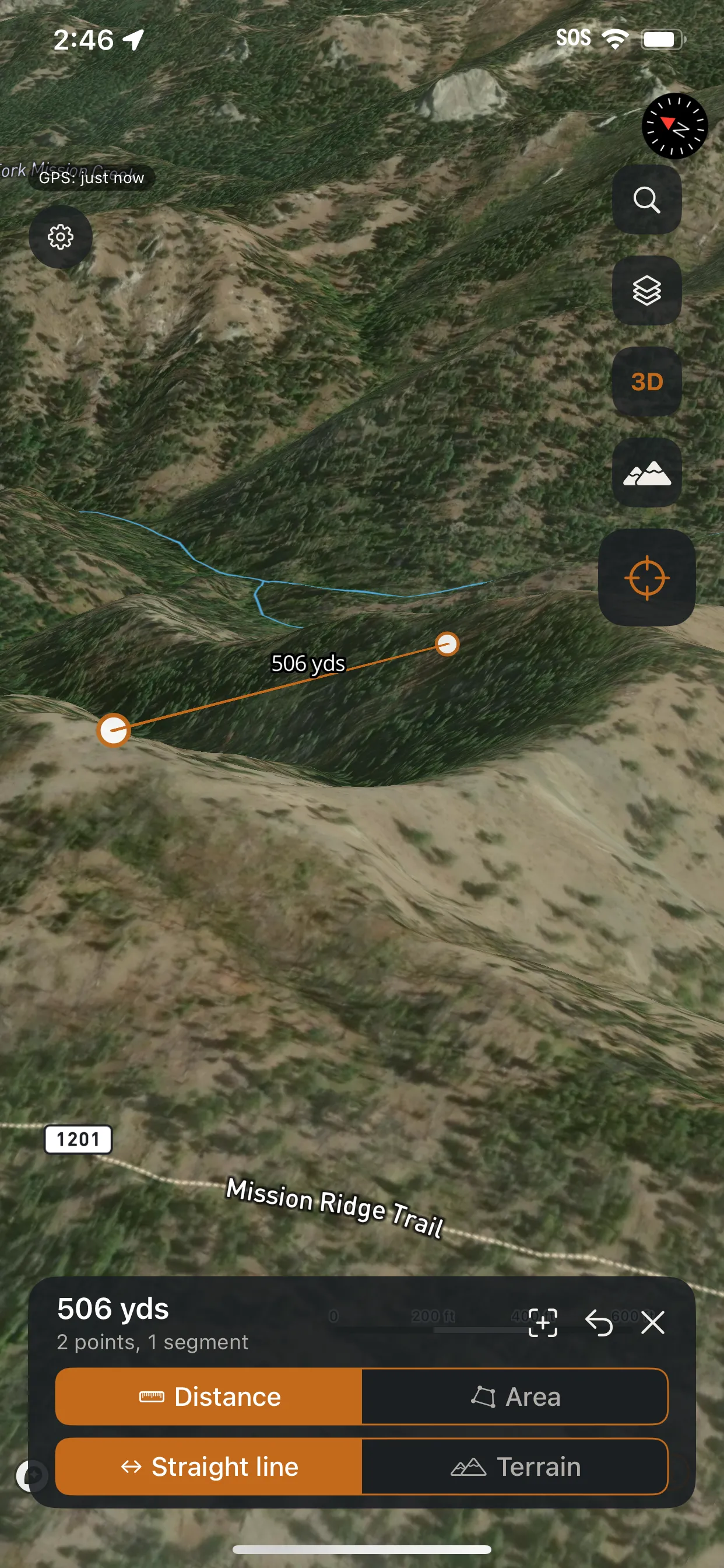
Measure distance & area
Measure straight-line or terrain-following distance, and area, right on the map. Talus Pro.
Compass rangefinder
Sight down your phone to place a pin at a measured range while you're glassing. Talus Pro.
Custom pins
Thirty purpose-built pin icons for stands, camps, water, sign, and more, with notes and shareable links. Talus Pro.
Built for country with no bars.
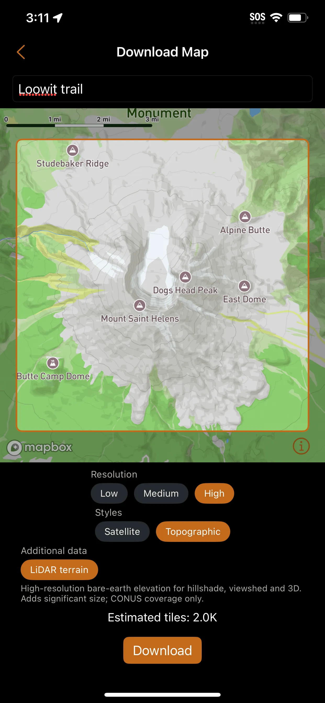
Offline map downloads
Download any area at the resolution you choose: base maps, overlays, and LiDAR terrain. Talus Pro.
Offline place search
Search peaks, towns, streams, and lakes against an on-device database. Talus Pro.
Cross-platform sync
Pins and tracks stay in sync across your iOS and Android devices.
Shareable pin codes
Share any pin with a short code that drops it on a partner's map. Talus Pro.